Early historical geography and Armenian memory mapping notes.
Independent research atlas
Ararat
Petrosyan
Researcher, editor, and independent scholar working across historical memory, conflict systems, digital cartography, computational complexity, and operational data systems.
A research identity built around one problem: how truth survives inside complex systems. The atlas grew from a long cartographic research arc begun in 2010 and now organized as a public Rust-backed map system: memory, conflict, computation, and evidence are treated as connected territories.
Long-term cartographic work
Fifteen years of notes, sources, and map design
The public atlas is the current interface of a longer research path: Armenian heritage and historical geography notes, war and memory mapping, public data systems, and live geospatial infrastructure are now brought together in one navigable system.
Operational public-data maps and pandemic geography interfaces.
Genocide, heritage, and regional evidence maps move into structured public atlases.
The system becomes a live, multi-room atlas with Rust-served records and 2D/3D scenes.
Global live atlas
Live Planet Pulse
Watch current earthquake and disaster signals on the world map. Use the layer buttons, open a pulse, and follow severity, place, source, and Yerevan-time updates.
AP public atlas system
Working maps, historical GIS, risk layers, war atlases, and evidence rooms
A public gateway into live maps, historical atlases, Armenia rooms, and operational geography.
 Foundation atlas / temporal history
AP World History Atlas
Temporal history GIS for states, cities, battles, routes, universities, religions, and cultural centers.
 Lost cities / 3D world atlas
Atlas of Lost Cities
10.8K ancient cities, ghost towns, ruins, former settlements, archaeological sites, and vanished capitals in a 3D world scene.
 Armenia room / thematic cabinet
Map Armenia
Republic of Armenia atlas room for terrain, geology, water, economy, population, settlement, and heritage layers.
 Operational history
First World War Operational Atlas
Source-aware WWI records, fronts, events, and timeline layers.
 Operational history
Second World War Operational Atlas
Large WWII source/event atlas with operational records and theater logic.
Risk, memory, movement, and systems
 Heritage / memory
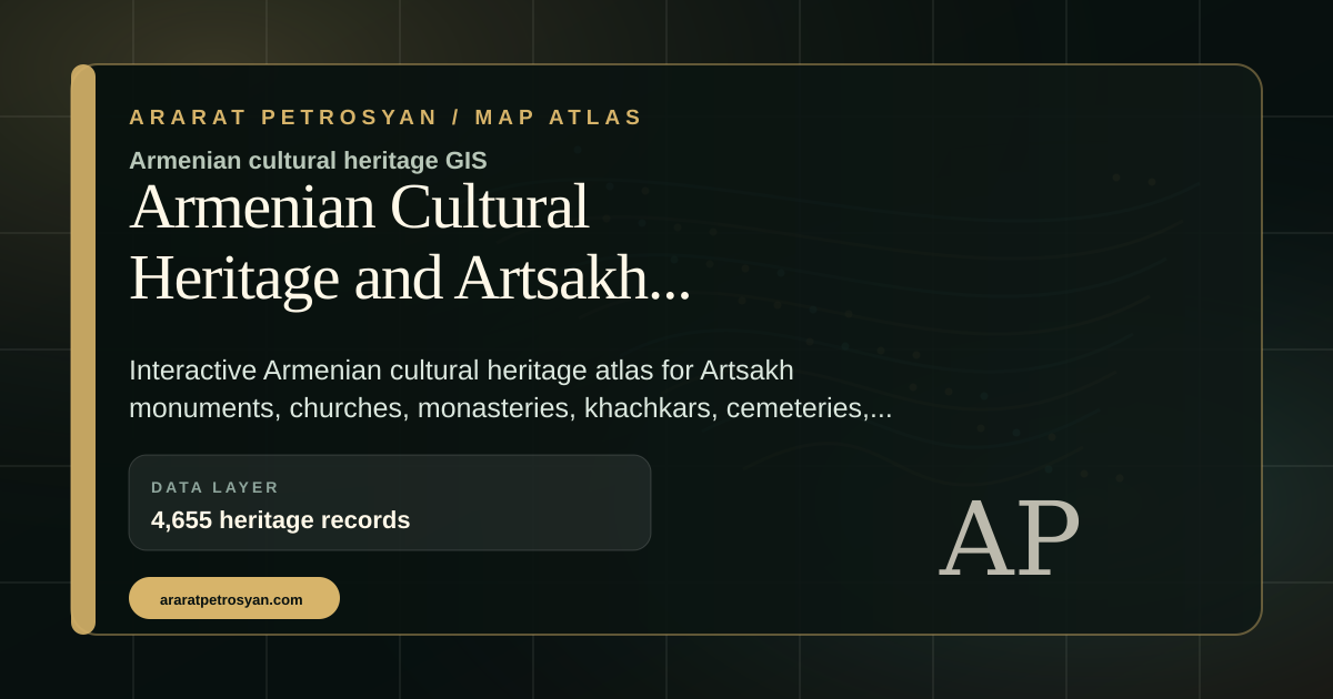
Armenian Cultural Heritage Atlas
Monuments, monasteries, churches, fortresses, cemeteries, and source-linked heritage records.
 Historical memory
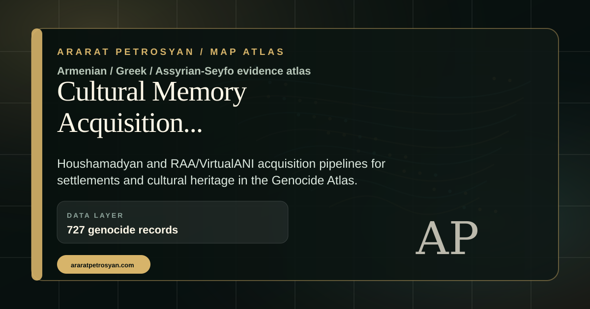
Genocide Atlas
Source-aware genocide geography, events, places, deportation routes, and archival dossiers.
 Conflict systems
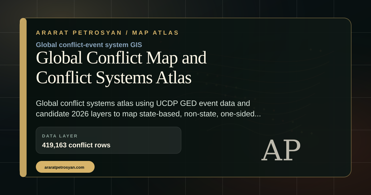
Conflict Systems Atlas
Global conflict event records organized by actors, countries, event types, intensity, and time.
 Risk atlas
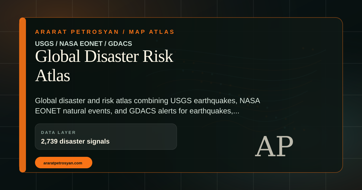
Global Disaster Risk Atlas
Earthquake, disaster, alert, and public-risk records in a global operational map.
 Human geography
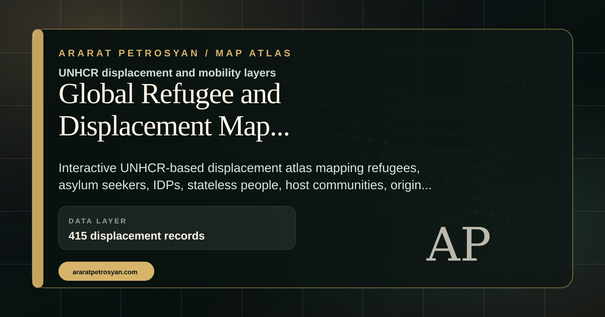
Global Displacement Atlas
Refugee, displacement, asylum, origin, host-country, and cross-border movement records.
 Mobility systems
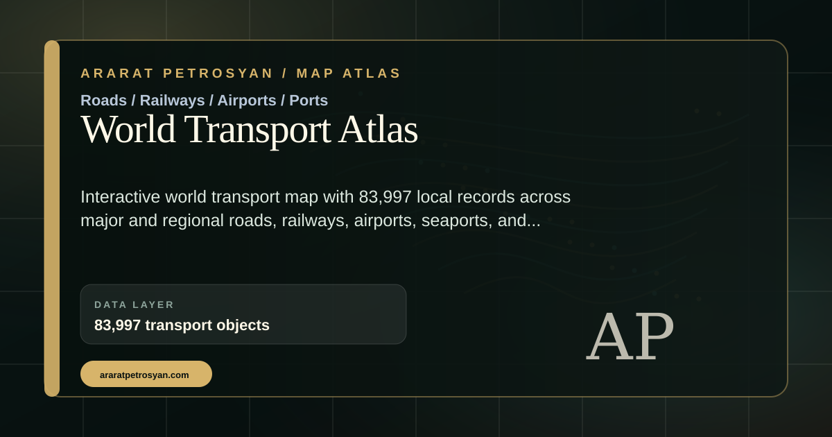
World Transport Atlas
Global mobility, city, transport, route, and infrastructure layers.
 Route intelligence
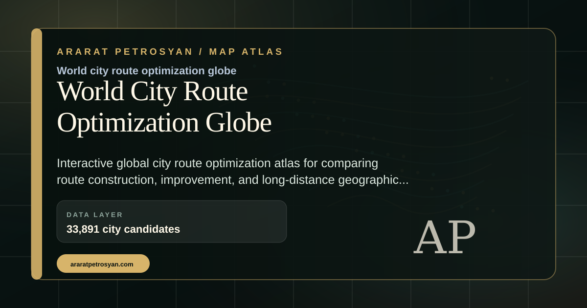
World City Route Globe
Interactive route optimization and city-network geography.
 Public health
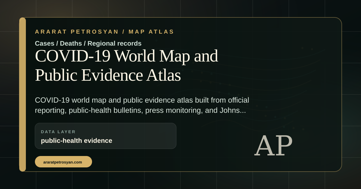
COVID-19 World Map
Global public-health map and historical dashboard context.
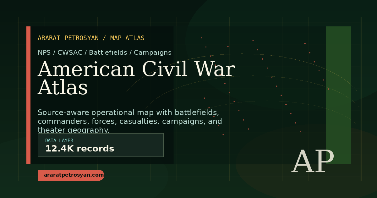 Historical war atlas
American Civil War Atlas
Source-aware historical conflict geography and battle records.
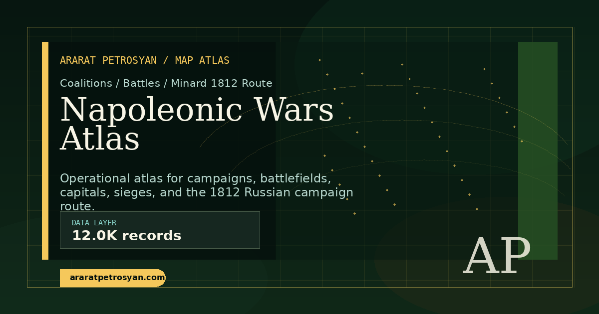 Historical war atlas
Napoleonic Wars Atlas
Campaigns, battles, theaters, and historical geography.
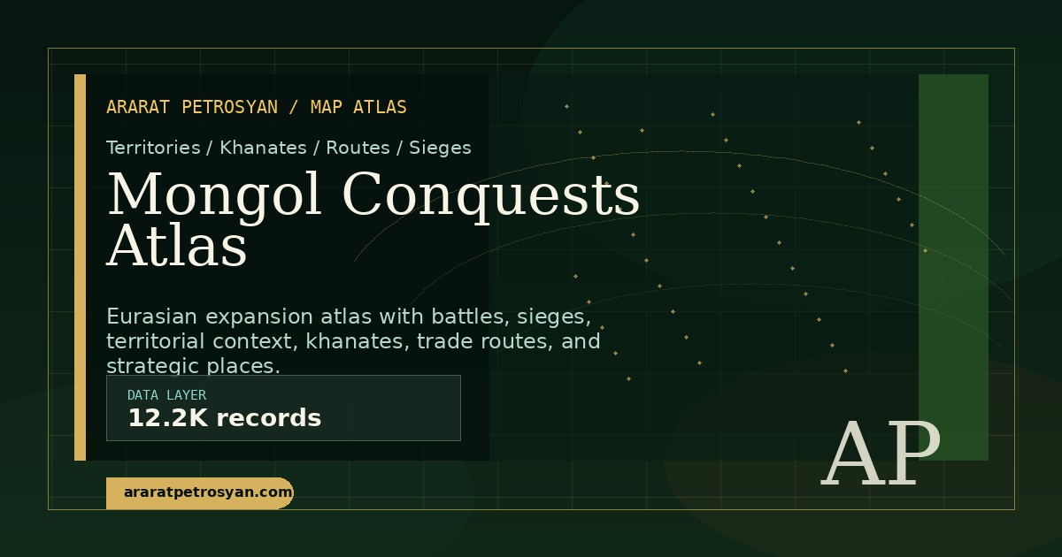 Historical world system
Mongol Conquests Atlas
Empire expansion, campaigns, routes, cities, and Eurasian geography.
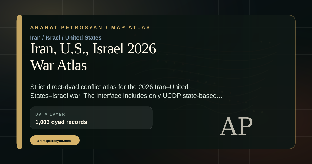 Current conflict room
Iran-American-Israeli War 2026
Focused event-level public-source conflict atlas.
 Current conflict room
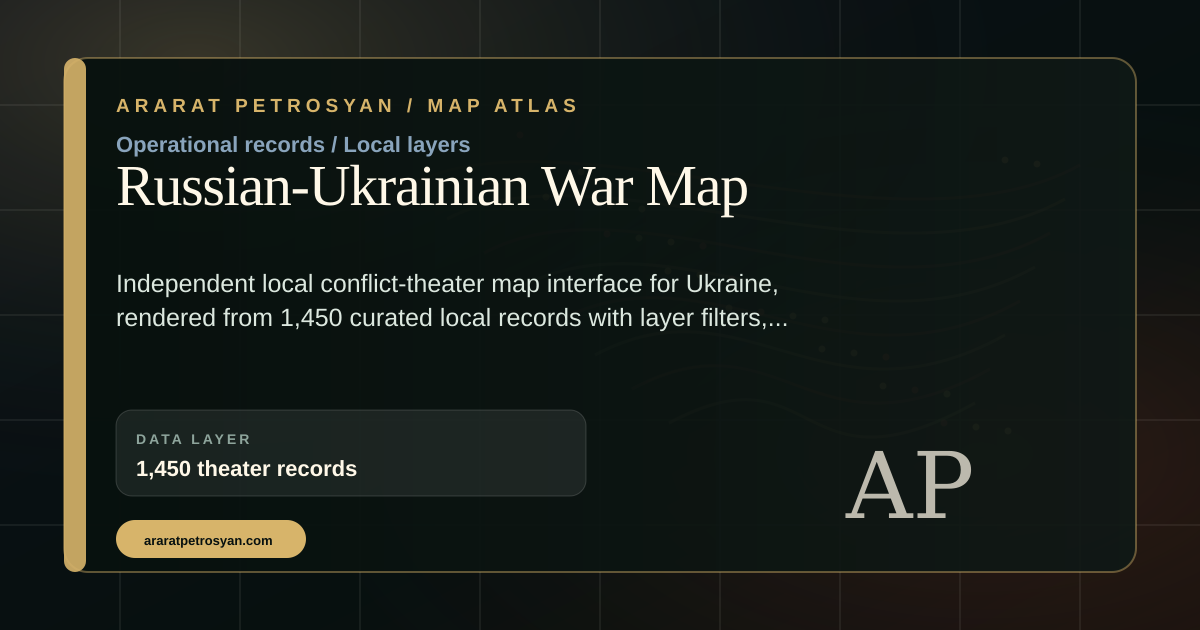
Russian-Ukrainian War Map
Event and source layers for the Russian-Ukrainian war.
 Conflict room
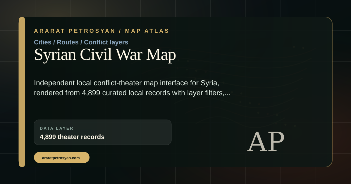
Syrian Civil War Map
Conflict geography, actors, sources, and event layers.
 Conflict room
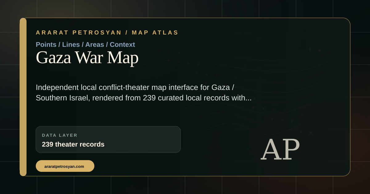
Gaza War Map
Public-source map room for Gaza war records and layers.
 Conflict room
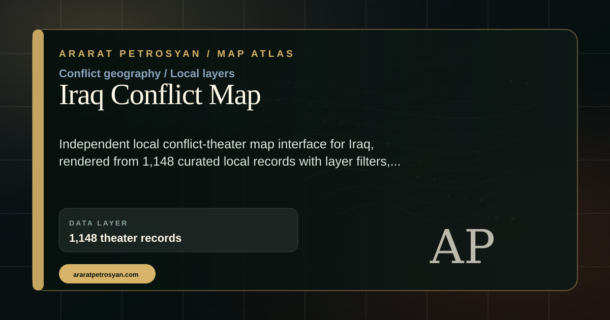
Iraq Conflict Map
Conflict events, infrastructure, and operational records.
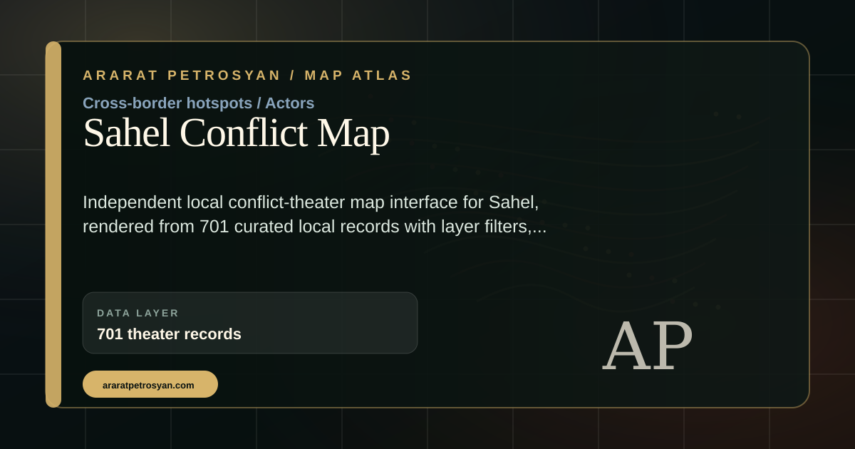 Conflict room
Sahel Conflict Map
Regional conflict dynamics and public event geography.
 Full index
All Maps
Open the full map room with public atlases, dashboards, archives, and map layers.
Public atlas scale
1,276,558 mapped records
The public map system now presents a live and historical atlas stack: world history, war atlases, Armenia rooms, heritage geography, conflict systems, displacement, transport, disasters, and current live signals.
Open full map room1,276,558mapped records
25counted map rooms
1,226current live signals
743JSON / GeoJSON files
Largest roomsConflict Systems, World War II, World War I, World History, and World Transport carry the largest public record volumes.
Live layerLive Planet Pulse adds current public signals from four public providers while keeping the interface compact and readable.
Presentation pathStart with the live world map, then open Armenia, World History, WWI/WWII, Heritage 3D, and the full map room.
Computational atlas architecture
Rust API, compressed order, and public maps
This atlas is not a set of isolated pages. It is a complex public cartographic system: records, layers, live signals, historical objects, and thematic rooms are organized through a Rust API and a compressibility hypothesis. The guiding idea is simple: if a vast body of evidence has internal order, then the interface should reveal that order without flattening the evidence itself.
Contact