UCDP GED 25.1 plus provisional 2026 candidate records; mapped views distinguish full source rows from filtered geocoded layers.
Evidence systems room
AI is useful when it serves sources, maps, and review
This page frames the technical side of the site: acquisition scripts, public datasets, normalization, geocoding, anomaly review, layer design, and interactive interfaces. The emphasis is research infrastructure that lets complex evidence become legible.
UNHCR public statistics rendered as origin, asylum, and IDP layers.
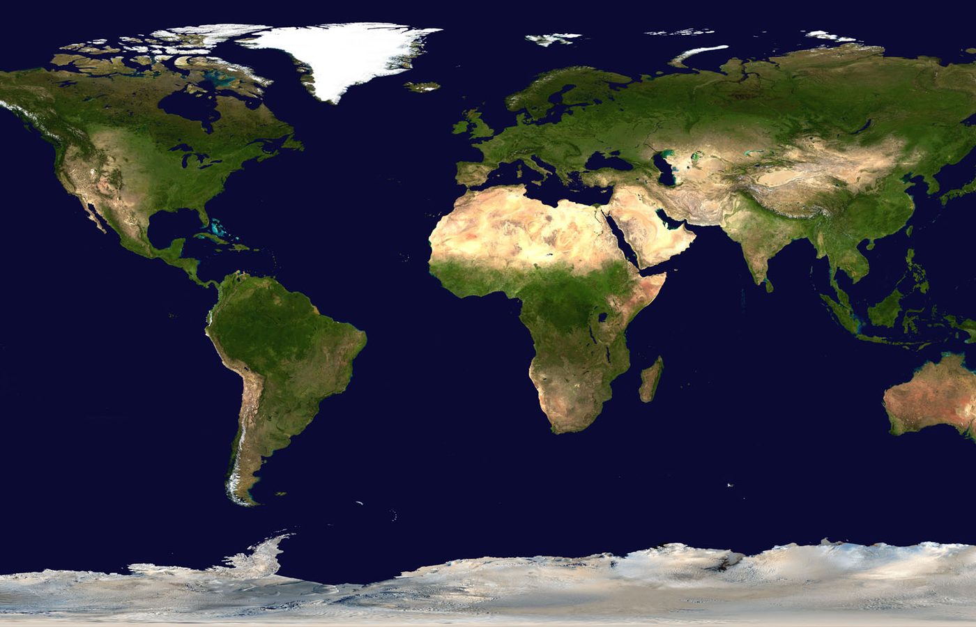
USGS, NASA EONET, and GDACS records normalized into a risk atlas.
A reproducible local pipeline refreshes conflict, displacement, and disaster datasets.
Systems view
From planet-scale signals to formal structure
The atlas system connects live public signals, historical evidence, geography, and formal reasoning. The visual layer should make that architecture understandable before the user opens a map.


Research stack
From public sources to visible command rooms
The working stack now includes genocide and heritage review consoles, global conflict ingestion, displacement and disaster-risk pipelines, COVID regional pages, route optimization, complexity visualizations, and controlled interpretive tools for Linear A. AI belongs in this stack as a disciplined assistant for extraction, classification, and review queues.
Download, parse, and normalize public datasets into stable local JSON and CSV assets.
Separate confirmed records, contextual material, coordinate review, and source-only references.
Expose the work through maps, timelines, filters, record panels, and mobile-friendly atlas pages.
Enter the systems